Log in
All resources
Create a design
863,826 Free Images of Maps By Coronelli
maps in the library of congress
maps made in the 17th century
albert ruger
gerard valck
maps by pieter schenk (i)
atlantis magni tomus tertius (biblioteca comunale di trento)
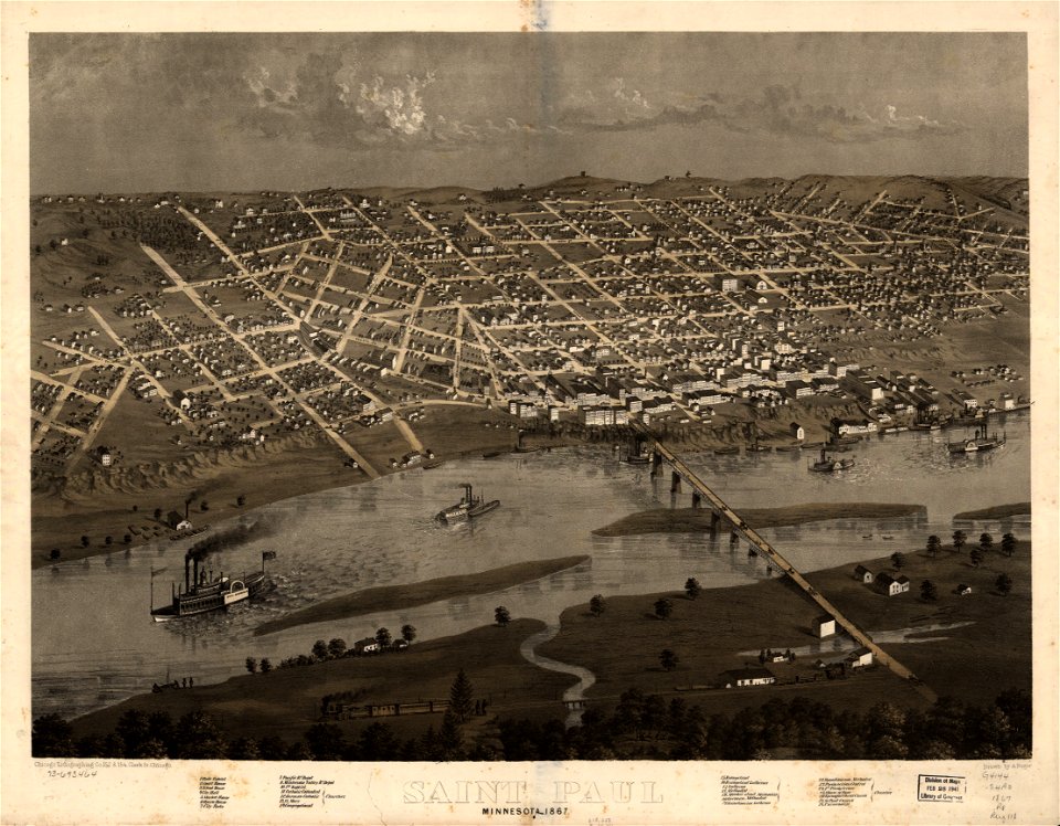
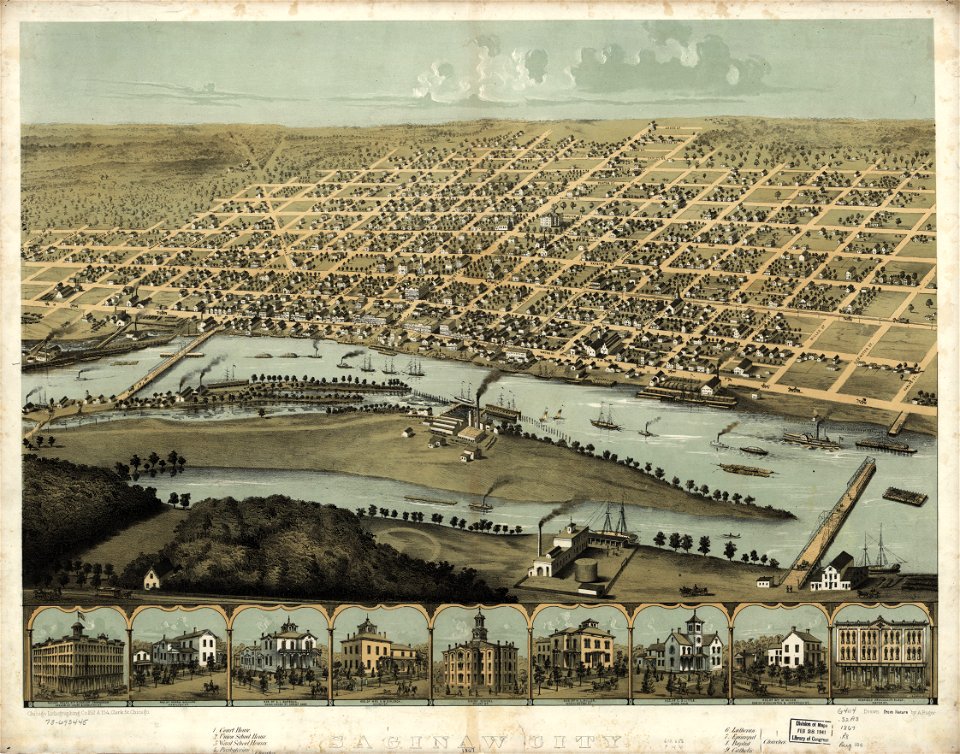
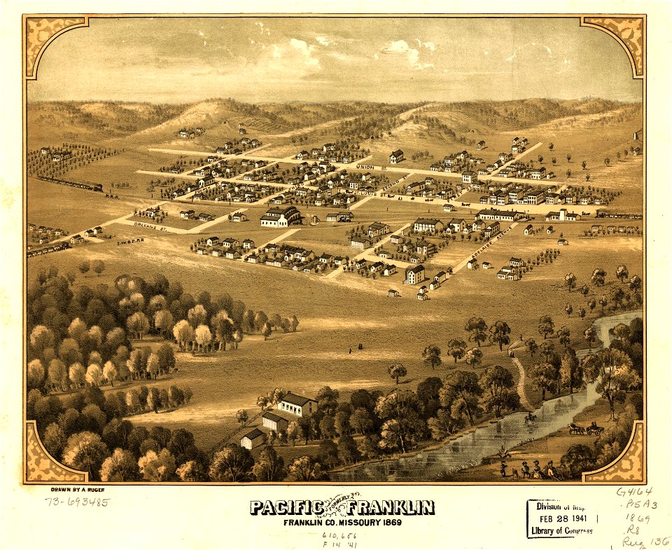
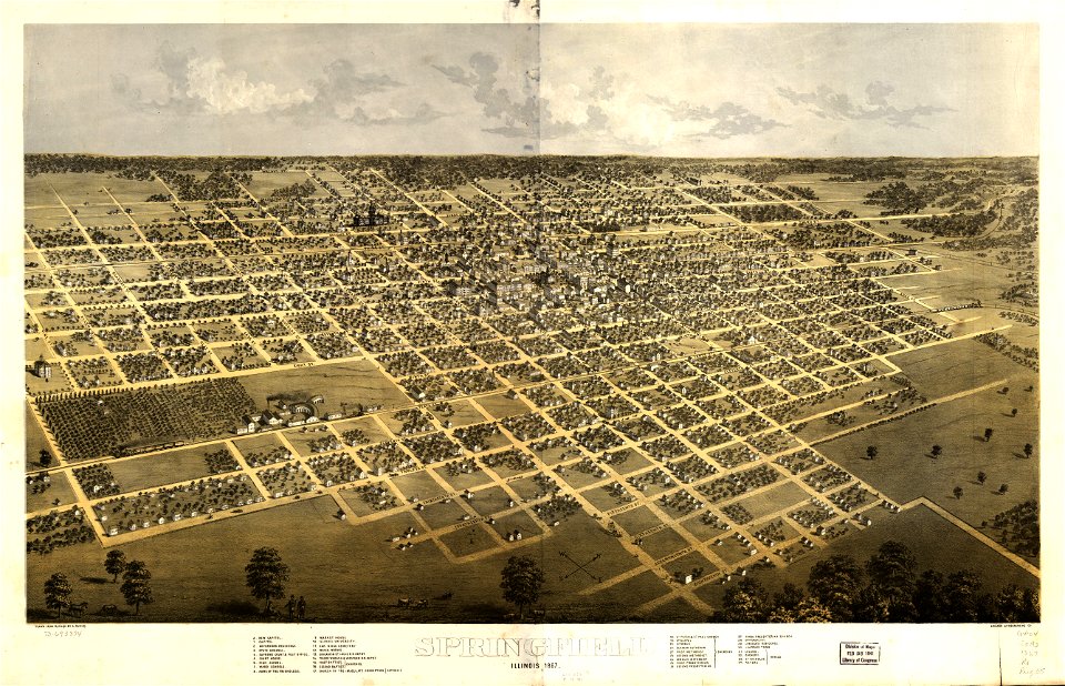
1867 maps
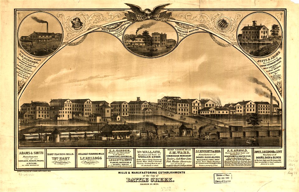
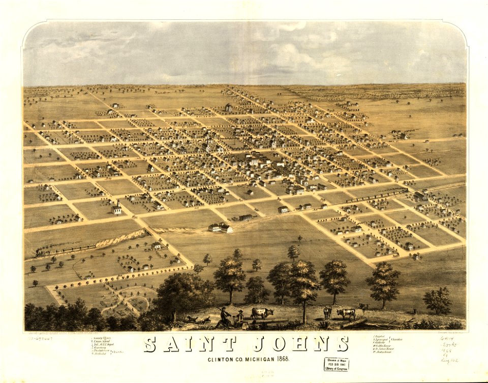
old maps of michigan
atlantis magni tomus secundus (biblioteca comunale di trento)
1868 maps
maps in the library of congress
1867 maps
maps in the library of congress
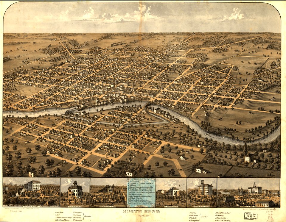
albert ruger
charts and maps of the royal museums greenwich
1682 maps
maps with cartouches
joan blaeu
maps in the library of congress
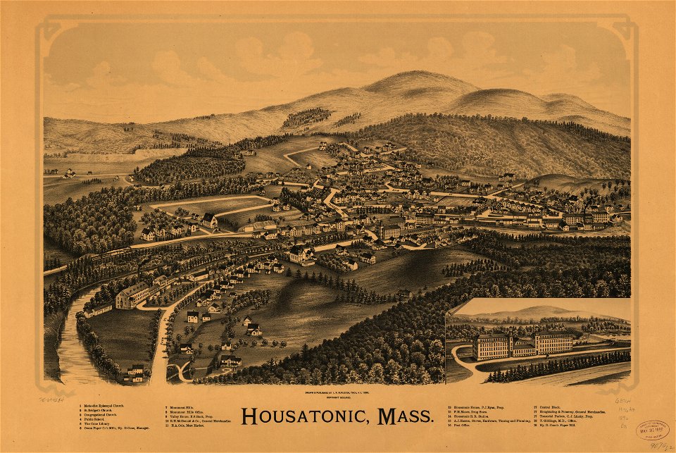
old maps of massachusetts
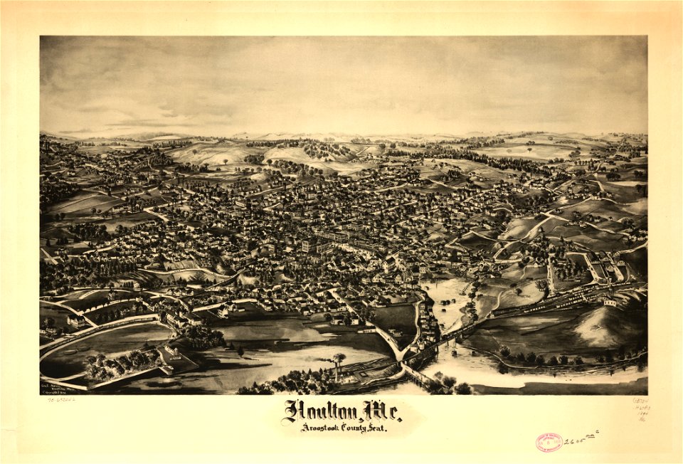
houlton
maine
houlton
maine
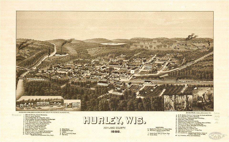
wisconsin
hurley
wisconsin
hurley
20th-century satirical maps
italian-language maps
maps in the library of congress
albert ruger
maps in the library of congress
albert ruger
maps in the library of congress
1867 maps
maps in the library of congress
1867 maps
maps in the library of congress
1867 maps
maps in the library of congress
1867 maps
maps in the library of congress
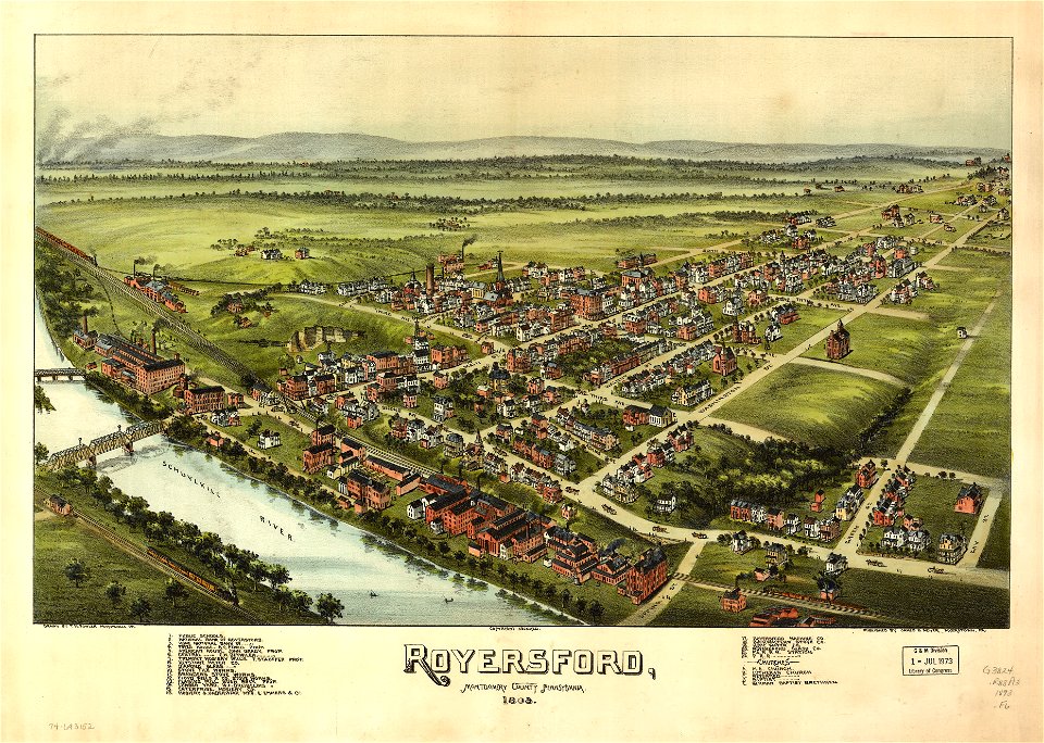
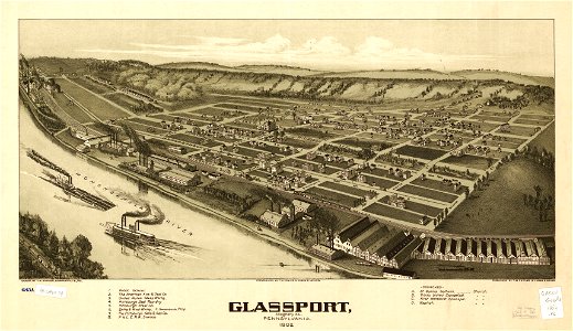
pennsylvania
old maps of asia
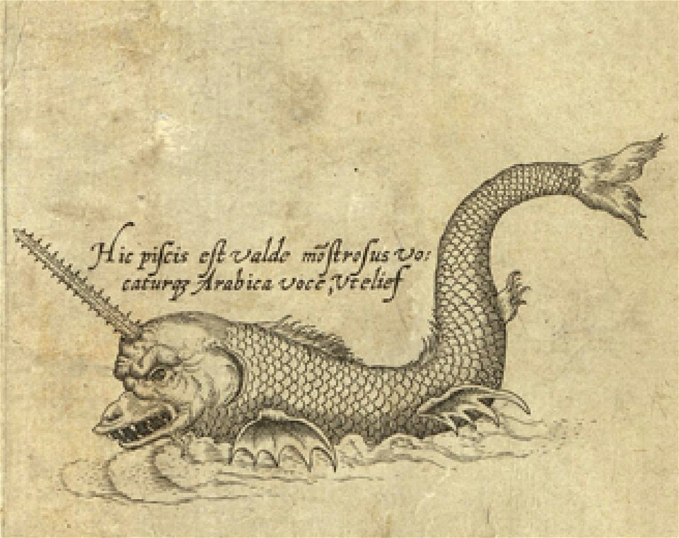
sea monster
maps in the library of congress
albert ruger
maps in the library of congress
albert ruger
maps in the library of congress
old maps of new york (state)
maps in the library of congress
old maps of pennsylvania
maps in the library of congress
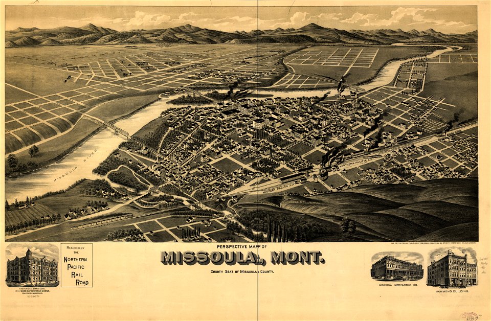
old maps of montana
maps in the library of congress
old maps of montana
maps in the library of congress
1867 maps
maps in the library of congress
1867 maps
maps in the library of congress
albert ruger
maps in the library of congress
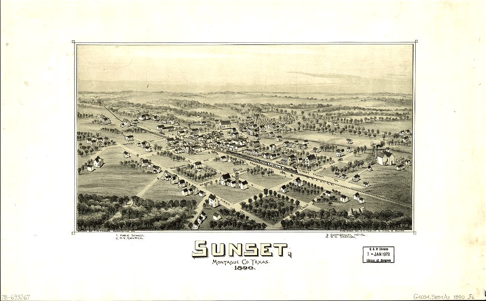
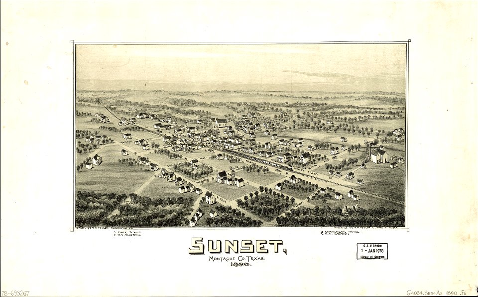
old maps of texas
maps in the library of congress
old maps of texas
abel tasman
1644 maps
maps in the library of congress
1867 maps
maps in the library of congress
pennsylvania
old maps of thailand
old maps of vietnam
flemish prints in the british museum
etchings by wenzel hollar
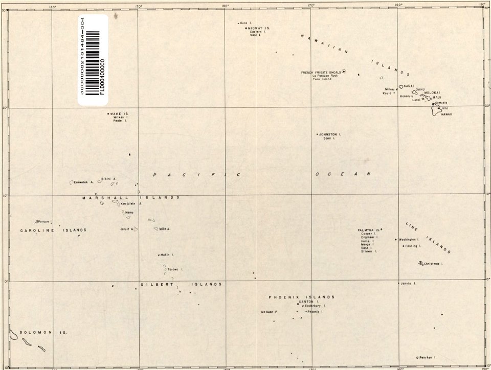
old maps of the pacific ocean
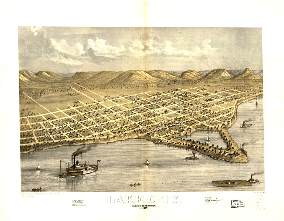
old maps of hawaii
massachusetts
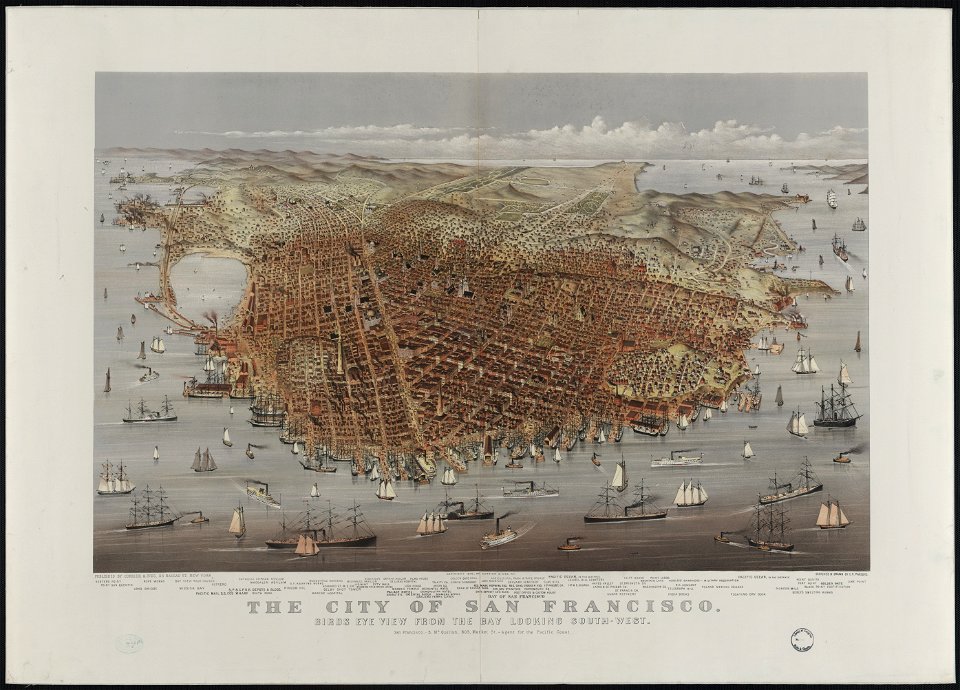
o. h. bailey
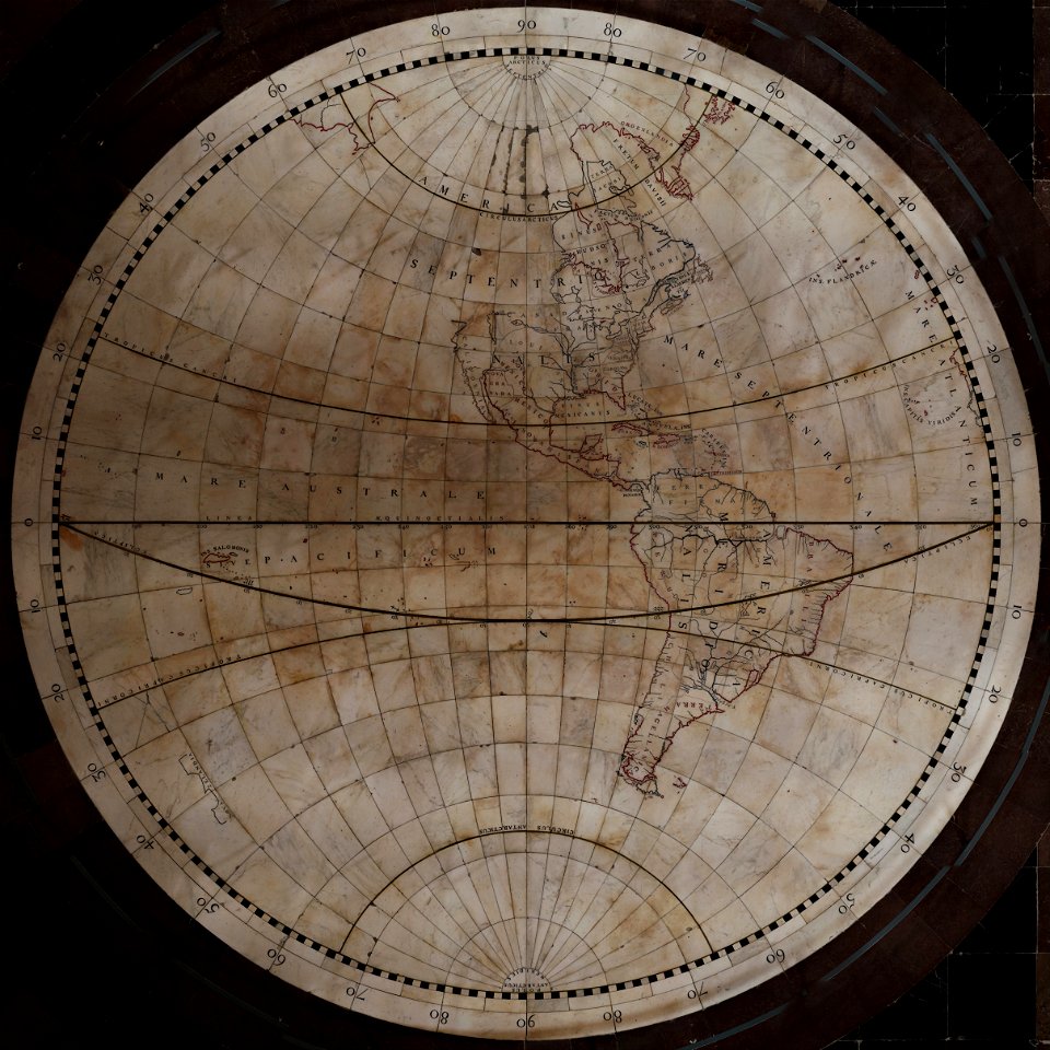
old maps of earth's hemispheres
western hemisphere
administrative history of france
latin-language maps
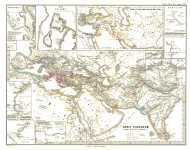
maps of ancient persia
karl spruner von merz
maps in the library of congress
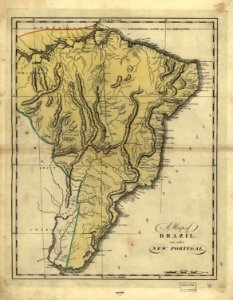
19th-century maps of brazil
maps in the library of congress
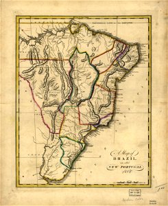
19th-century maps of brazil
maps in the library of congress
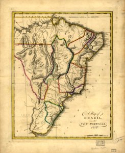
19th-century maps of brazil
maps in the library of congress
19th-century maps of brazil
maps in the library of congress
1639 maps
18th-century maps of indonesia
1705
atlas de wit 1698
friesland
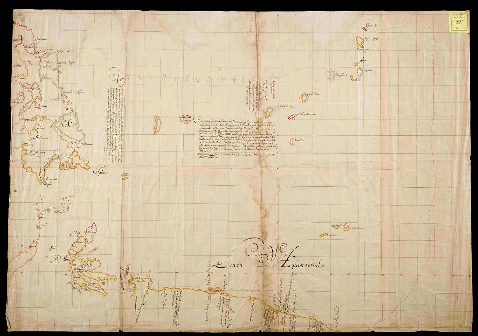
old maps of the tsardom of russia
old maps of the middle east
copper engraving
friesland
joan blaeu
scotland
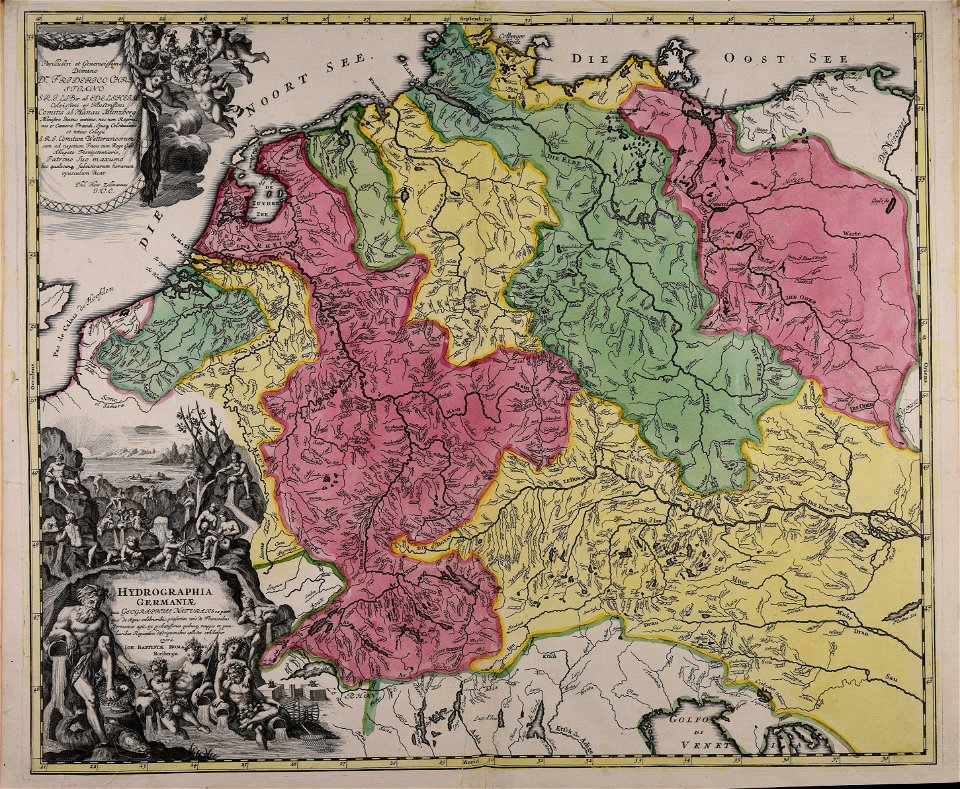
johann baptist homann
latin-language maps
johann baptist homann
latin-language maps
maps in the national library of australia
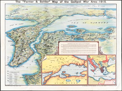
maps of the sea of marmara
bird's eye view maps of california
san francisco in art
coat of arms of germany
1642 maps of croatia
university of toronto wenceslas hollar digital collection
hollar maps and plans of london
images from the bulgarian archives state agency
maps by sebastian münster
old maps of ireland
gerard valck
coats of arms of breda
netherlands
david rumsey historical map collection
german-language maps
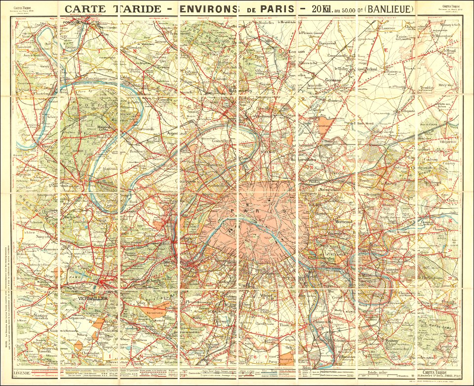
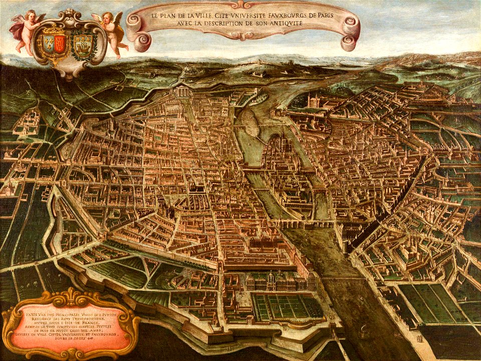
maps of paris from the barry lawrence ruderman antique maps inc.
1690s maps of paris
maps of the republic of novgorod
1539 maps of russia
maps of paris from the barry lawrence ruderman antique maps inc.
maps of paris in the 1920s
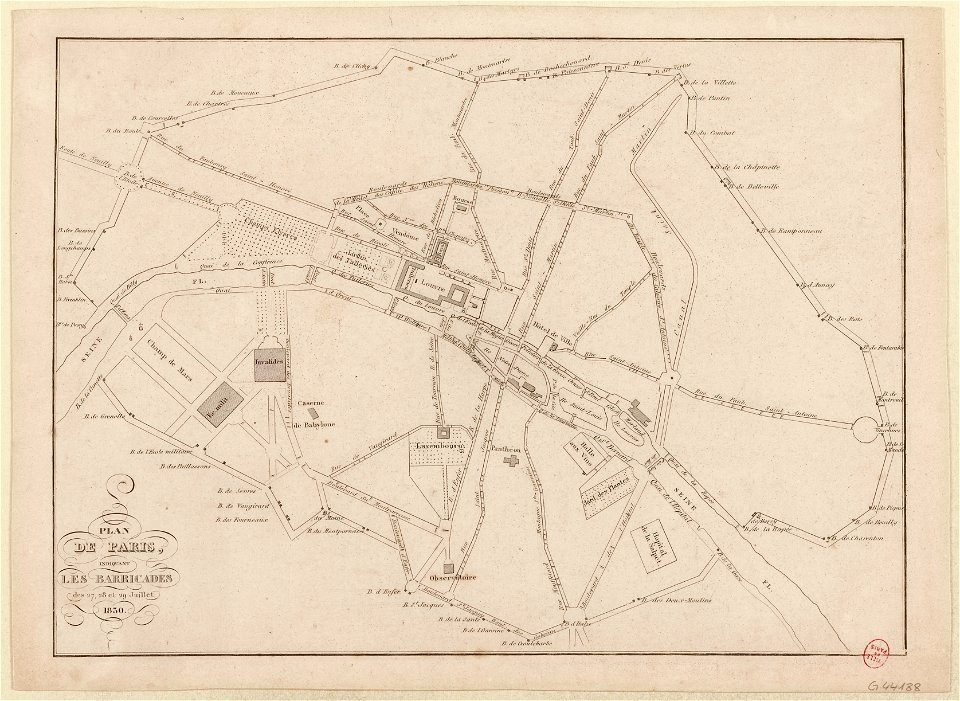
french revolution of 1830
1830s maps of paris
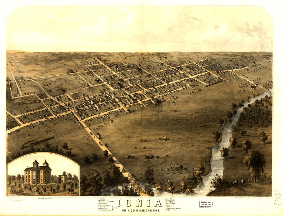
michigan
ionia
michigan
ionia
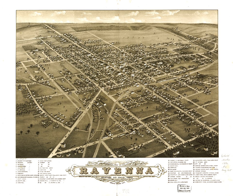
maps in the library of congress
ohio
maps in the library of congress
ohio
david rumsey historical map collection
german-language maps
maps of the sea of marmara
colossus of rhodes
david rumsey historical map collection
jr
18th-century maps of italy
frederick de wit
maps of paris from paris musées
paintings in musée carnavalet
maps made in the 18th century
johann baptist homann
maps of paris from paris musées
paintings in musée carnavalet
maps of the mariana islands
guam in the 18th century
portrait of vincent laurensz van der vinne by frans hals
baroque
drawings by john robert cozens in the yale center for british art
old maps of lazio
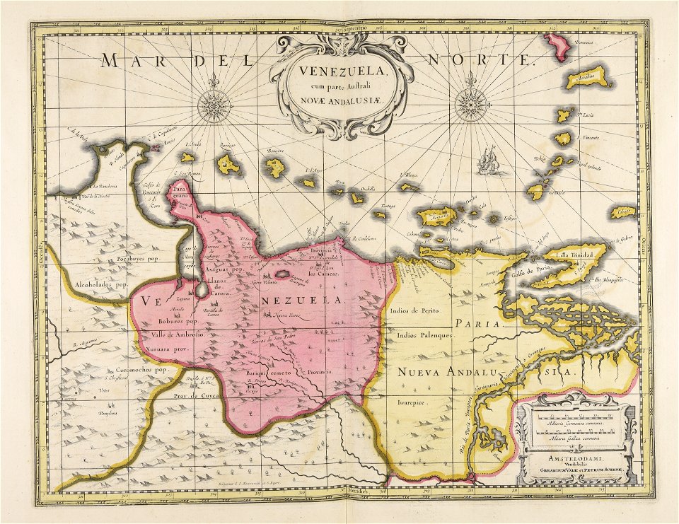
old maps of venezuela
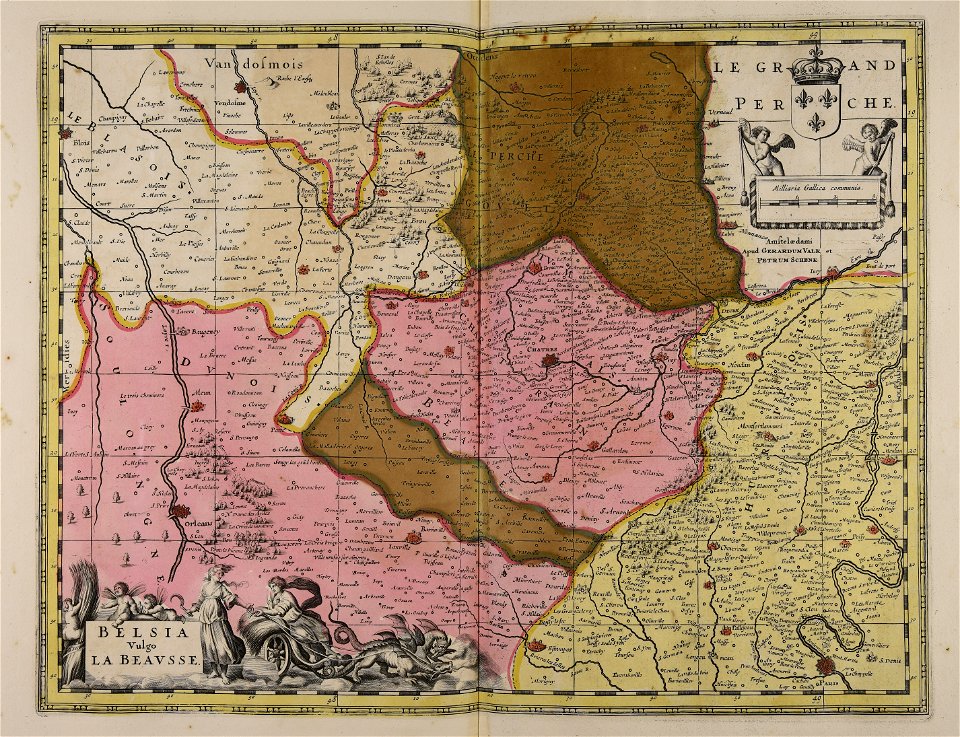
gerard valck
maps made in the 17th century
gerard valck
maps by willem and johannes blaeu
maps made in the 17th century
maps made in the 17th century
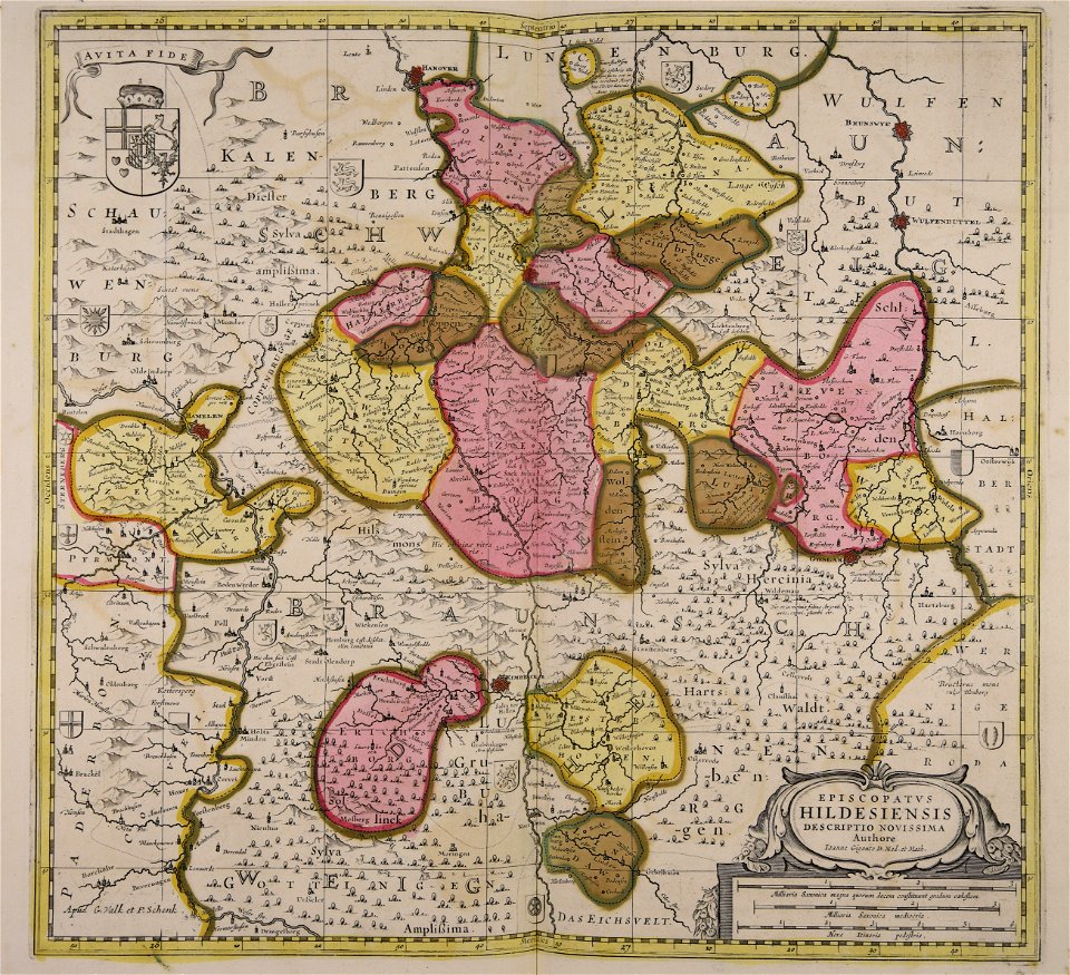
gerard valck
maps made in the 17th century
gerard valck
maps made in the 17th century
gerard valck
maps made in the 17th century
gerard valck
maps made in the 17th century
gerard valck
maps made in the 17th century
gerard valck
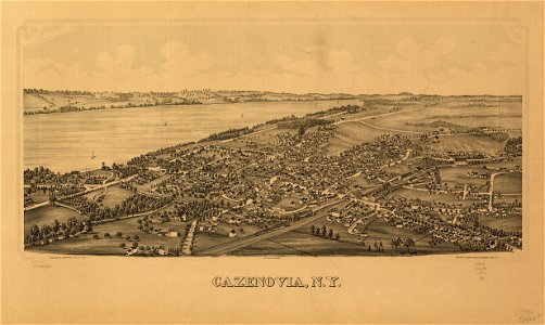
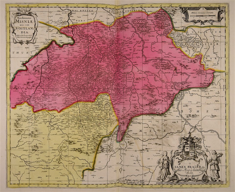
cazenovia
new york
maps made in the 17th century
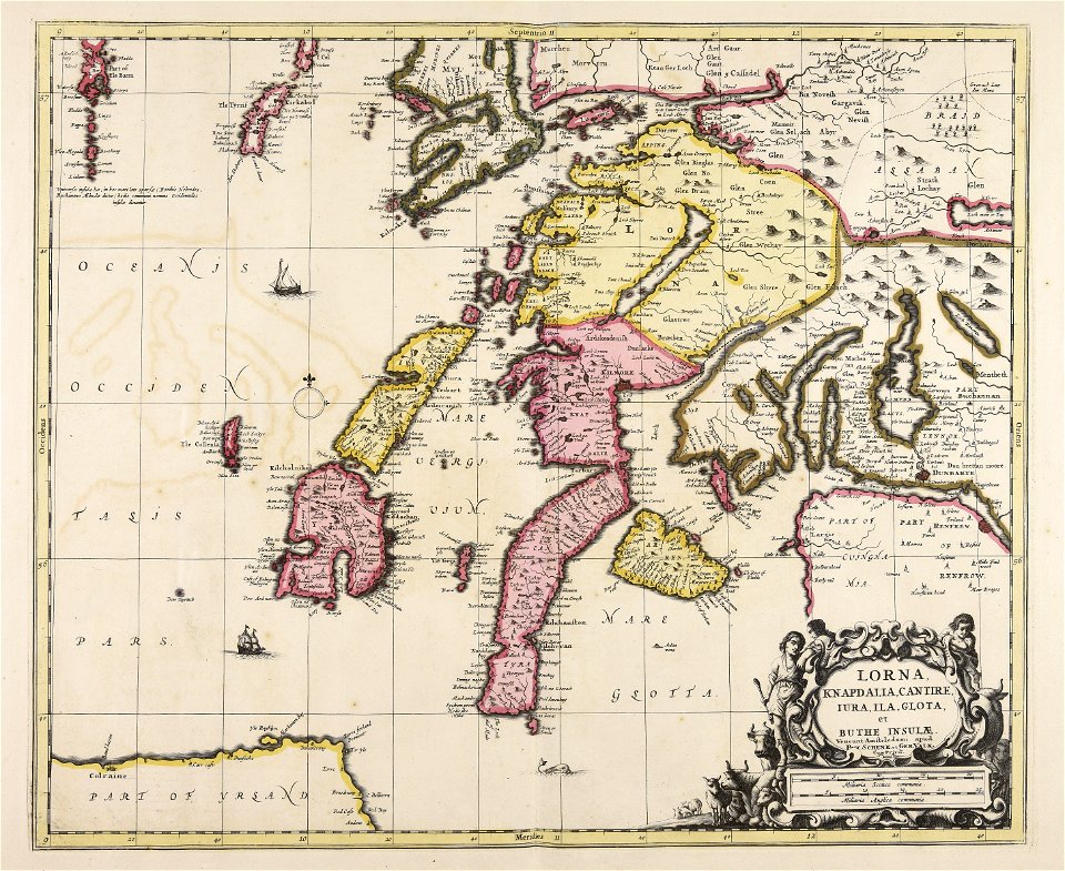
gerard valck
maps made in the 17th century
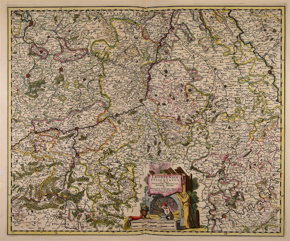
maps by nicolaes visscher i
maps made in the 17th century
gerard valck
maps made in the 17th century
gerard valck
maps made in the 17th century
gerard valck
gerard valck
england
gerard valck
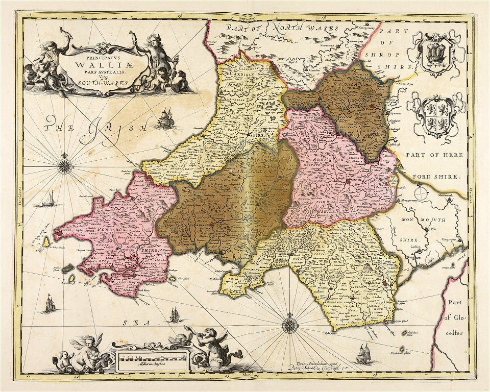
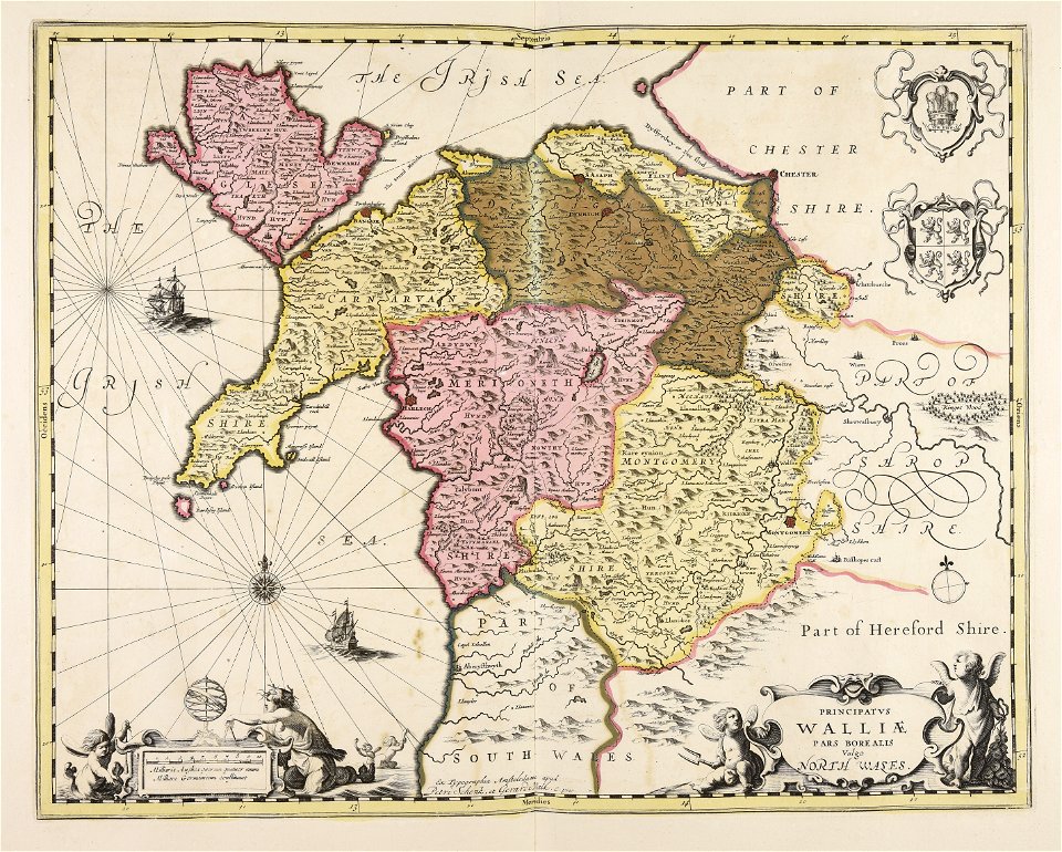
south wales
gerard valck
north wales
maps by willem and johannes blaeu
maps made in the 17th century
maps made in the 17th century
gerard valck
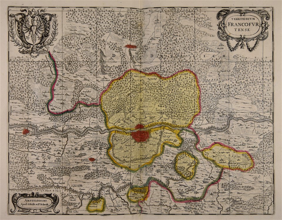
old maps of frankfurt am main
gerard valck
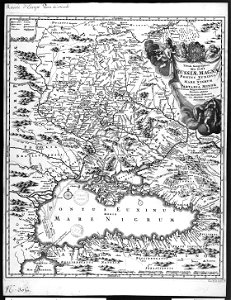
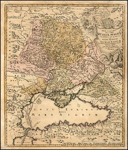
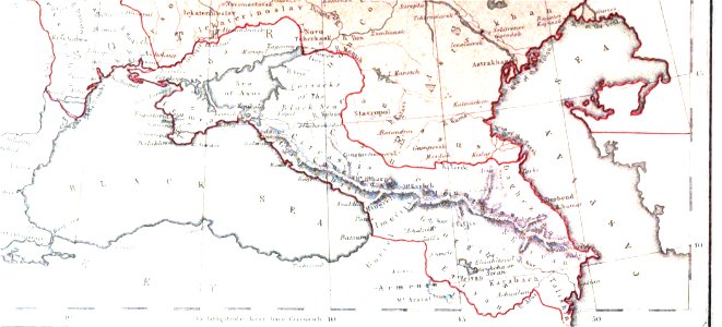
19th-century maps of the caucasus
1856 maps
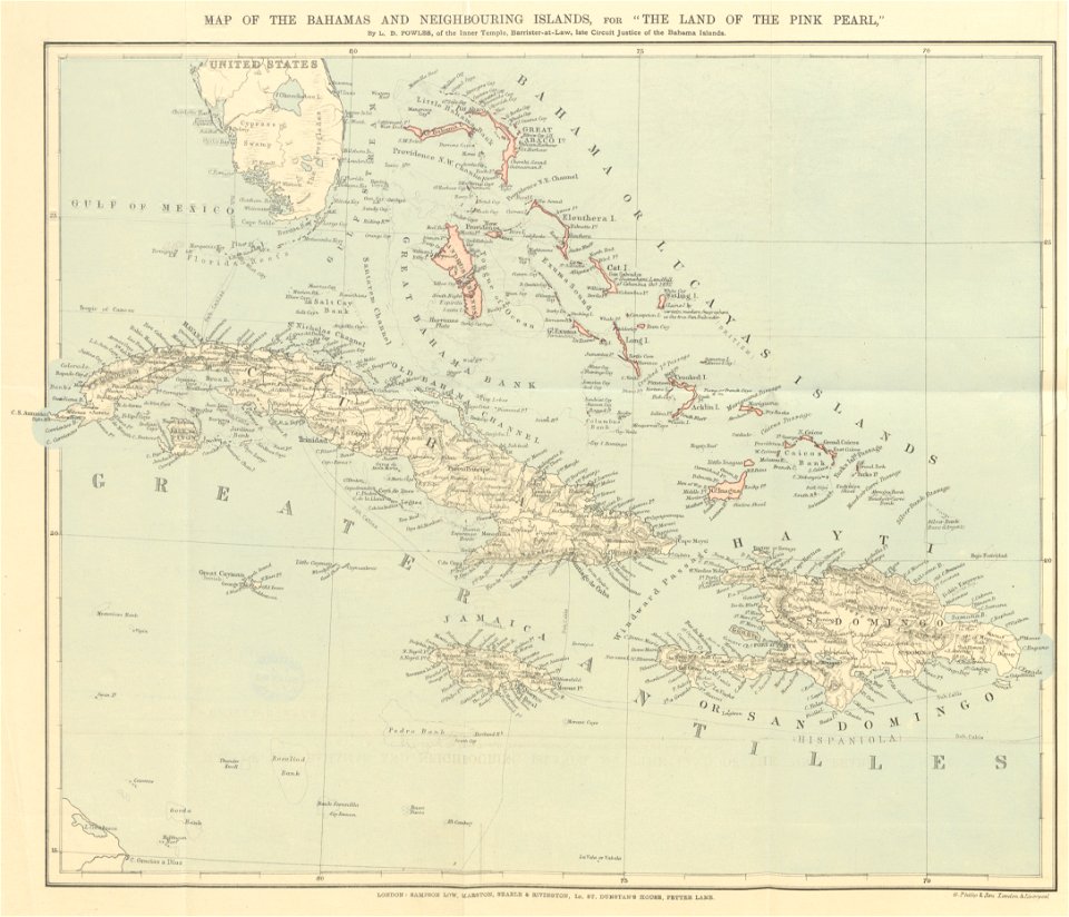
maps from the mechanical curator collection
the land of the pink pearl
2601 - 2700 of 863,826
Next page
/ 8639